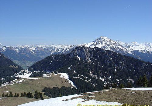
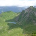
Pointe d’Autigny
Easily accessible, Pointe d’Autigny is the goal of a hike that allows discovering mountain pastures at the foot of Mont Chauffé.
The summit offers a splendid panorama on Cornettes de Bise, Mont de Grange, Pointe de Lachau and the Portes d’Oche.
- Difficulty: Intermediate
- Altitude: 1,808 m
- Ascent: 2 hours 00 min
- Descent: 1 hour 10 min
- Elevation Gain: 390 meters
- Round-trip: 8.0 km
- Map: <b>IGN 3528 ET</b>
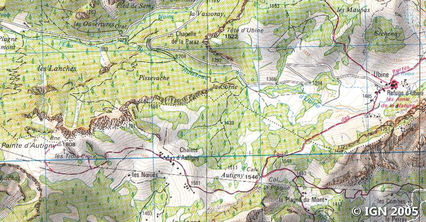
Getting There
From Thonon-les-Bains, take the direction of Morzine then the D222 road in the direction of Abondance. Follow the direction of Vacheresse and continue towards Bise-Ubine. Continue to Ubine, which is reached after 8 km. Park in the parking lot near the chapel.
GPS Coordinates (WGS 84) of the Starting Point: 46.306828, 6.742121
Ascent
The hiking trail is located behind the chapel of Ubine and rises gently through the forest. The Chalets d’Autigny are soon reached and can be the ideal place to take a break as it faces Mont de Grange.
The trail becomes much steeper and totally uncovered to reach the summit of Pointe d’Autigny.
In about forty minutes, the three crosses and the peak are within reach.
Descent
Take the same route as depicted above.
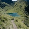
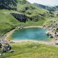
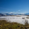
Photos of Pointe d’Autigny


Route
Download the route (KML) Download the route (GPX)
This post is also available in Français
About the Author
Pierre-Alexandre 33 ans, fondateur et webmaster de Randos-MontBlanc. Suivez-moi sur @pierrealexphotography


