Montagne de Chevran
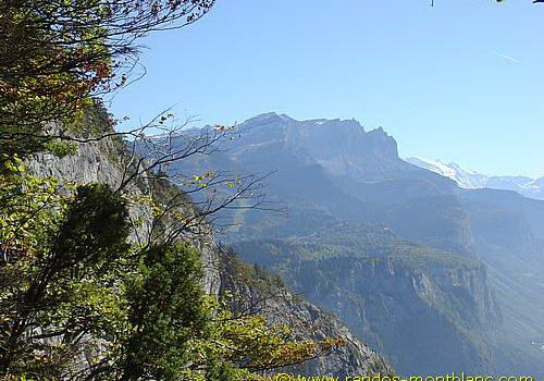
I propose here a small walk above Cluses. The Montagne de Chevran offers a spectacular view over the Valley of the Arve, Pointe d’Areu, the Môle, Pointe d’Andey, and many other summits.
- Difficulty: Very Easy
- Altitude: 1,222 m at Pointe de Chevran
- Ascent: 1 hour 45 min
- Elevation Gain: 250 meters
- Round-trip: 4.0 km
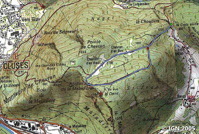
- Map: <b>IGN 3430 ET</b>
Getting There
From Annemasse, take the direction of Taninges via the D907 road. At Taninges, turn right towards Cluses. Follow the road until Chatillon-sur-Cluses and turn left in the direction of Carroz d’Araches.
Go past St-Sigismond and shortly after, park in the parking lot on the right called La Croix Verte.
GPS Coordinates (WGS 84) of the Starting Point : 46.063154, 6.620221
Ascent
From the car park, take the stony road that leads to the Chalet de Chevran d’En Bas.
After crossing a small mountain pasture, the Chalets de Chevran d’en Haut are in sight. Information signs mark the route and make it more playful for children.
Follow the pathway on the right that goes to “Pointe de Chevran” and enters the forest. After a short ascent, the first panorama is reached.
Go back to the junction and take the trail on the left leaving on the right the “Tour de Chevran” track. After a hundred meters, another panoramic point reveals the Valley of the Arve and the Mont Blanc Massif.
Descent
Retrace your steps, and either: – go back by the same footpath; – or take on the right the path that goes into the forest and reaches the onward journey trail.
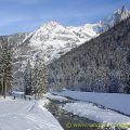
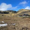
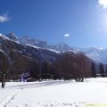
Photos of the Montagne de Chevran


Route
Download the route (KML) Download the route (GPX)
This post is also available in Français
About the Author
Pierre-Alexandre 33 ans, fondateur et webmaster de Randos-MontBlanc. Suivez-moi sur @pierrealexphotography


