Crête des Bénés
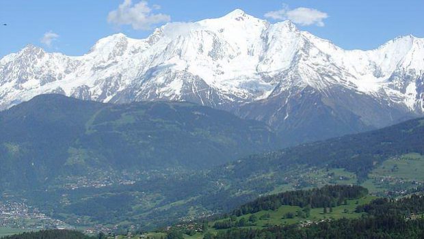
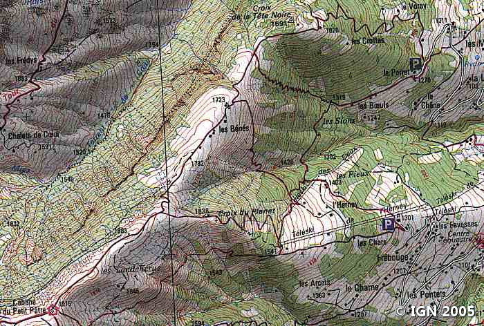
Located on the heights of Sallanches, Crête des Bénés and its mountain pasture offer a great destination for the hiker. Throughout the ascent, the eye is attracted by Haute-Savoie’s magic; On one side the majestic Mont Blanc Massif, on the other the Aravis Range and its Pointe Percée, or the Fiz Massif with the Aiguille de Varan. The circuit I propose describes a loop. The summit of Tête Noire also is a beautiful panoramic point and may suffice for timid hikers or children.
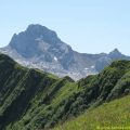
The trail continues on Crête des Bénés to the Cabane du Petit Pâtre, a grandiose point of view at the foot of Croisse Baulet that the most audacious can climb.
- Difficulty: Easy
- Altitude: 1,691 m at the Croix de la Tête Noire, 1,915 m at the Cabane du Petit Pâtre
- Ascent: 2 hours 00 min
- Descent: 1 hour 20 min
- Elevation Gain: 700 meters
- Round-trip: 9.6 km
- Map: IGN 3430 ET
Getting There
In Sallanches, take the D113 road towards Cordon. In this village, take a small road on the right at the building of the fire department, just before the town hall, where among many signs is indicated “Les Mouilles” direction that you have to follow until the parking of the Peray.
GPS Coordinates (WGS 84) of the Starting Point: 45.922317, 6.591257
Ascent
The trail starts at the Peray car park in front of the descriptive sign of the Bénés site. Head towards the Tête Noire. Very quickly the path becomes quite steep and enters the forest. The slope is strong until a first chalet on the right where already an extensive view of the Aravis Range allows taking a breath. The track is flatter towards a picnic table on the right of the road. From there, turn right a little further into the wood to the top of Tête Noire. After a well-deserved break to discover the Sallanches Valley, with Aiguille Verte and the Mont-Blanc Massif in sight, you can retrace your steps to find the main path to Crête des Bénés and the chalets that one sees in the distance.
Continue the trail with its zigzags after the chalets up to “Cabane du Petit Pâtre.”
The Croisse Baulet will undoubtedly be the aim of an upcoming itinerary.
Descent
Retrace your steps to a little path on the right going to “Le Chanté. ” After a few meters follow the narrow footpath into the forest that starts on the left indicated by a wooden arrow-shaped board. Before starting this descent under Crête des Bénés, it is possible to climb to the cross of Planet (1,840m) by taking a short path secured by cables.
The descent goes under the cross with Mont Blanc as a marker, on a steep track in switchbacks under the ski lift. At a first intersection, take the little pathway descending more steeply to the left. The trail then winds underneath the cables of the ski lift. Then, at the ski lift station, turn left in the direction of Peray. Follow this direction to reach the parking lot.
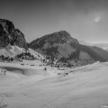
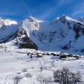
Photos of the Crête des Bénés
")
")


")
")
")
")
")
")
Route
Download the route (KML) Download the route (GPX)
This post is also available in Français
About the Author
Pierre-Alexandre 30 ans, fondateur et webmaster de Randos-MontBlanc. Suivez-moi sur @pierrealexphotography


