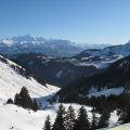
Pointe de Chésery
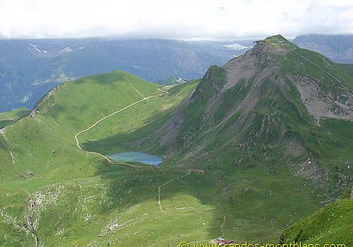
Pointe de Chésery constitutes a breathtaking itinerary that dominates the village of Lindarets in the heart of the Portes du Soleil between Châtel, Morzine, and Avoriaz.
The course presents no particular difficulty, except the last part of the ascent that is a bit steep.
- Difficulty: Easy
- Altitude: 2,251 m
- Ascent: 2 hours 00 min
- Descent: 1 hour 15 min
- Elevation Gain: 760 meters
- Round-trip: 7.8 km
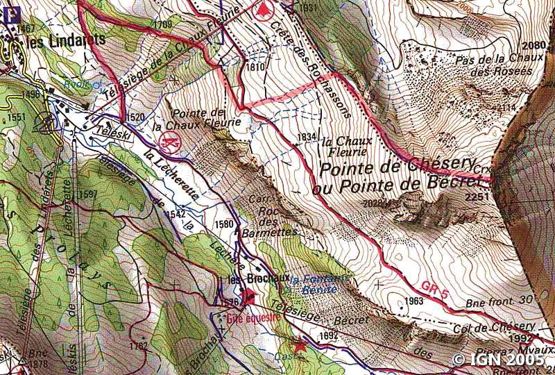
- Map: IGN 3528 ET
Getting There
From Morzine, take the direction of Montriond by the D228 road, and continue to the village of the Lindarets that you have to go through by avoiding the goats :-). The car park is on the left, at the exit of the village near the chairlifts.
GPS Coordinates (WGS 84) of the Starting Point: 46.208287, 6.776570
Ascent
From the parking lot, turn left on the road going to “Pointe de Chésery” and follow it to a small chalet. Continue to the right of the chalet and leave the trail to climb on the left in the direction of the arrival station of the chairlift.
Once arrived on the ridge, continue to the right in the direction of Pointe de Chésery, clearly visible by the small crest path, which wriggles between the rhododendrons and the small fir trees.
Quickly, the trail becomes steeper in the last part of the ascent to the peak. A sustained effort wins the summit materialized by several cairns.
Descent
Take the same route as described above.
A small visit of the village of Lindarets is necessary for those who do not know it, despite the tourists in summer.
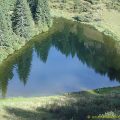
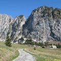
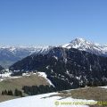
Photos of Pointe de Chésery


Route
Download the route (KML) Download the route (GPX)
This post is also available in Français
About the Author
Pierre-Alexandre 30 ans, fondateur et webmaster de Randos-MontBlanc. Suivez-moi sur @pierrealexphotography


